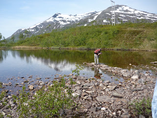
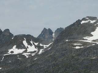
 Tops of mountains in the clouds on our way to Bodø.
 Mike got off the train to take some pictures; "H.o.h." means the height above sea level, given in meters. Europeans use a comma where we use a period (and vice versa), so this area is 512.94 meters above sea level. We were in Lønsdal about 20 minutes before we arrived at the arctic circle.

 We would often see what looked like white streaks down the sides of the mountains. These were, of course, streams of water cascading down the sides of the mountains.

 Dunderland is the next stop after passing over the arctic circle.


 We stopped at Grong about 7 p.m.
On July 21, Michael and I got up early in the morning to head to the airport for the first leg of our journey south to Kristiansand. The plane took us to Bodø (about a 30-40-minute flight), which is still north of the arctic circle, and it is where the northern-most station for the Norwegian railway is located. From the airport we went across town to the rail station. Our train left the station at 12:15 p.m., heading mostly south, except where we had to skirt the fjiords. We were restrained about taking pictures on the way because we had forgotten to bring the charger, and we wanted to be sure to have enough power for the rest of the week. Also, it's really difficult to take pictures from a train. We went through a lot of tunnels, and there are a lot of trees along the line. If Mike and I were looking out different sides of the car, and saw something neat--by the time the words were said ("Look!"), the scene would be gone! But the scenery all along was really stunning. You're never far from mountains or a body of water in Norway. Mike brought along his map of Norway, and he had picked up a schedule for the trains in the station at Bodø, so we were really able to keep track of where we were, and know if we were "on schedule." We crossed the arctic circle at 2:20 p.m. The larger cities along this line are Mo i Rana and Mosjøen. About 9:40 p.m. we passed through a town called "Hell," which I read is popular with the English tourists, who like to say that they have been to Hell, and have their pictures taken under the sign. We arrived in Trondheim at 10:10 p.m. and changed to another train that would take us to Oslo overnight. We were traveling "minipris" so we had "recliner" chairs and were provided with blankets, inflatable pillows, earplugs and eye-masks. The rail-car lights were dimmed, and we tried to get some sleep. The sun came up about 4 a.m. (our first "dark night" in months, since the sun still was not setting in Tromsø at that time) in Gudbrandsdalen, and we saw some beautiful countryside. We arrived in Oslo where we boarded a bus to take us to the rail station in Drammen, because the tracks were being worked on between Oslo and Drammen. From there, we boarded a train for Kristiansand. We arrived there about 12 p.m. Twenty-four hours is a long time on a train, and we were glad to be in Kristiansand.


